Our Services
Expert GPS and RTK Solutions for All Industries

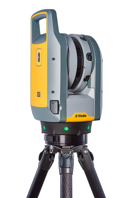
3D Laser Surveying – 3D laser surveying is a cutting-edge technology used to capture highly accurate, detailed three-dimensional data of physical objects or environments. This method is widely used in a variety of fields such as architecture, engineering, construction, archaeology, and environmental studies.

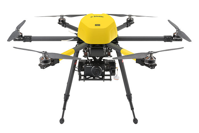
Drone – LiDAR Surveying refers to the use of drones equipped with Light Detection and Ranging (LiDAR) sensors to collect precise, high-resolution 3D data of the earth’s surface, including topography, vegetation, infrastructure, and other features. It combines the advantages of aerial surveying with the precision of LiDAR technology to generate highly accurate and detailed geographic models.

Hydro Surveying also known as hydrographic surveying, is the science of measuring and mapping water bodies such as oceans, seas, rivers, lakes, and other submerged areas. The primary goal of hydro surveying is to gather accurate data about the physical characteristics of water bodies, which can include depth, shoreline features, currents, tides, and submerged objects.

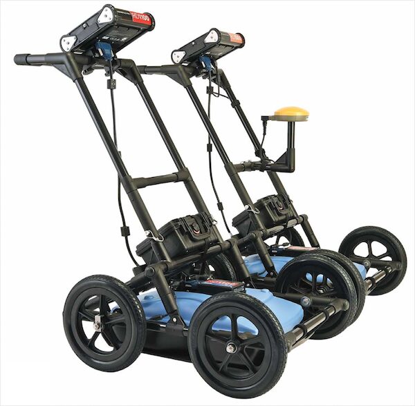
Underground Utility Surveying Underground utility surveying is a crucial process used to locate and map utilities that are buried beneath the surface. It involves identifying, mapping, and documenting the positions of various underground utilities such as water pipes, electrical cables, gas lines, telecommunications infrastructure, and stormwater drains. The main goal is to ensure safety during construction, maintenance, or excavation activities and to avoid damaging critical infrastructure.

